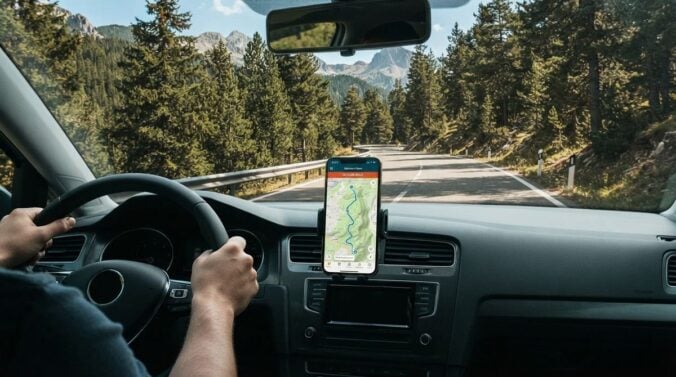
Remote road trips often pass through areas where mobile signal fades for long stretches. A map app that depends on live data can become unreliable at exactly the moment you need directions. Preparing offline maps before you leave gives you a dependable fallback. This article explains how to choose offline map options, download the right areas, test them and combine them with a paper backup for a safer journey.
Check what offline features your app supports
Not every map app handles offline use in the same way. Some allow you to download regions for turn-by-turn directions, while others only store the map image without routing. Read the app’s help pages to confirm that routing works offline, and check whether searching for places is possible without a connection. Update the app before you leave, since older versions may have limited features.
Readers may also want to visit Similar Times. Use these pages to understand the limitations of each app before you rely on one for a long stretch of road.
Download the right areas and test them
Testing is essential because offline data can be incomplete. Follow the steps below before you set off.
1. Download every region on your route, including the start, middle and destination.
2. Add a wide margin around the route to cover detours and alternative roads.
3. Save points of interest such as fuel stations, rest areas and hospitals.
4. Switch to airplane mode during a test drive to confirm the route still works.
5. Check the storage space on your phone before the download starts.
Drive a short test route with the phone in airplane mode, and check that the voice guidance and route updates behave as expected. If something is missing, download an extra region before the trip. Storage space matters too, since large regions can take up a surprising amount of room on a device.
Plan for battery and device safety
You can also visit atvwire.com for more reading. Mount the phone securely, use voice guidance where the law allows and avoid touching the screen while the car is moving.
Carry a car charger and a backup power bank, and keep the cables in an accessible place. Long drives in heat can drain batteries faster, so check the temperature of the phone and avoid leaving it on a hot dashboard. Keep the screen brightness at a comfortable level to reduce strain on your eyes during long days.
Think about how you will use the maps when you stop. Set the destination for the next leg while the car is parked, and download any new regions you may need for towns along the way. Keep the app’s saved places up to date with the fuel stations, rest areas and any medical centres on the route, so you can find them quickly if the signal drops. If you share your location with a travelling companion, agree in advance on when it will be turned on and off, and make sure the setting does not drain the battery too quickly. Many drivers also keep a small notebook in the glovebox for recording directions given by local people or road signs that differ from the map. These notes often prove more useful than a screen when the road is unfamiliar. Finally, check that the offline map files will still be available after a software update, since updates occasionally reset stored data. A quick look before the journey begins prevents unpleasant surprises in the middle of a long, quiet stretch of road. Keep the phone charged above half before each remote section. If the route passes through a region with no coverage at all, confirm that the offline map covers that part specifically.
Pair digital maps with a paper backup
A paper road atlas or a printed route sheet is an inexpensive safety net when devices fail. For a related read on this site, see Keeping Devices Charged and Backed Up During Frequent.
Mark your planned stops, fuel points and emergency contacts on the paper. Tell someone outside the trip your planned route and expected arrival times, and agree on when they should expect to hear from you. If you are travelling in unfamiliar terrain, consider speaking to a local motoring organisation or a qualified guide for advice on conditions and safety.
Offline maps are a practical safety tool for remote roads. Check your app’s features, download generous regions, test the setup in airplane mode, protect your devices and carry a paper backup. With these preparations in place, a patchy signal becomes an inconvenience rather than a problem, and you can focus on the journey itself.